Managing drones
in low level airspace
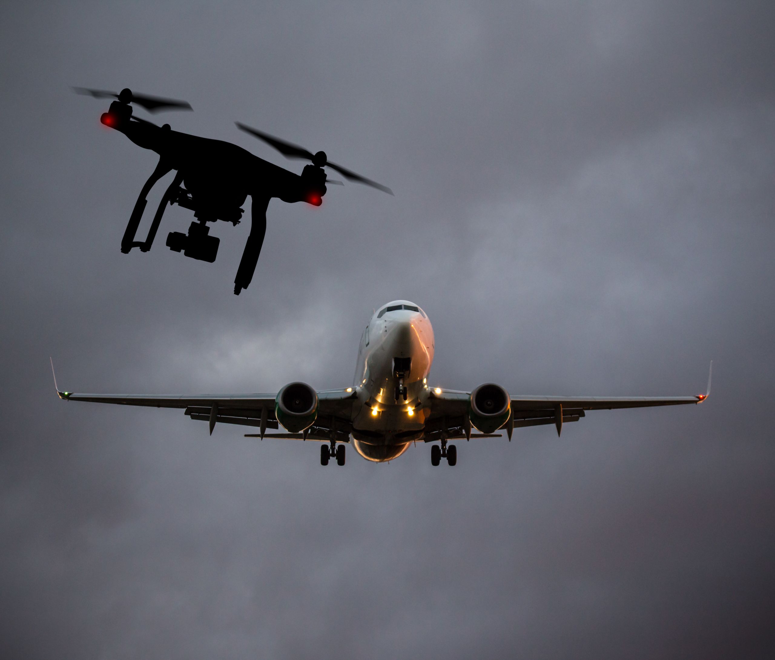
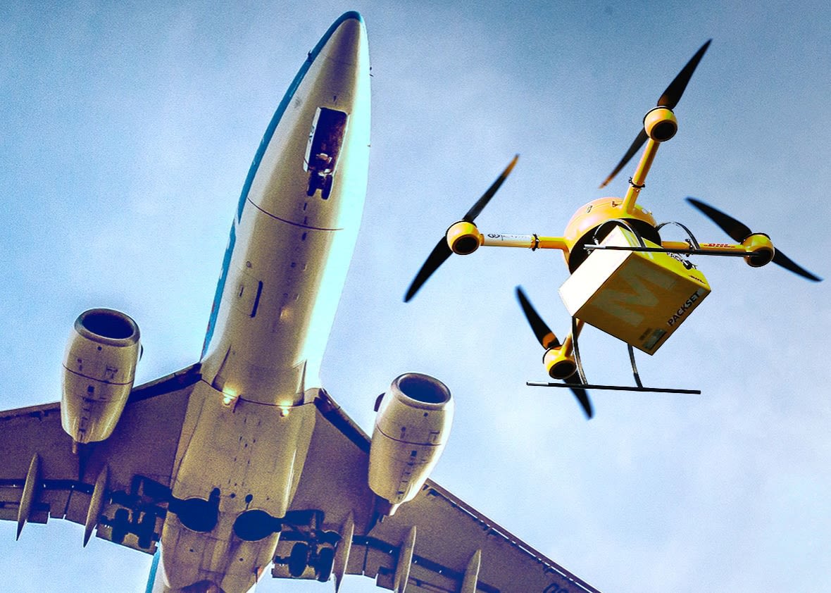
Can drones and manned aircraft with hundreds of passengers or tons of cargo share the same airspace safely and orderly? Most likely they can. But experts from both industries are still looking for the best way to integrate drones in an already congested sky with thousands of commercial flights and a wide-variety of airspace users. A system to manage the traffic of both drones and manned aviation is certainly a must for establishing a safe co-existence of manned aircraft and drones, especially in the low levels of the airspace, where the majority of drones would be operating.
It is likely that both actors – manned and unmanned aviation – will have to make ‘concessions’: the drone industry will have to put up with some constraints on their operations and manned aviation will have to count in some additional risks and find ways to mitigate them. The ideas presented in this detailed paper provide guidance on how these constraints and risks could be minimised for drones flying at very low level (VLL) via a safe and functional Unmanned Traffic Management system.
But first: what is 'Very Low Level' airspace?
This is the space below 500ft above ground level. This boundary was chosen by various stakeholders under the mistaken assumption that manned aviation does not normally operate below 500ft. In fact, this is exactly the airspace most often used e.g. by Helicopter Emergency Medical Services (HEMS), police and military aircraft, training flights performing practice emergency procedures, glider aircraft landing outside the airfield perimeter and others including many airspace users with little protection against collisions with other aircraft. However, this VLL airspace definition is not related to today’s ICAO worldwide airspace classification. It would make perfect sense, if drones and manned aviation are to co-exist in the same airspace, to also use the same airspace dimensions and classifications.
UTM – key enabler of drone integration
The co-existence of drones and manned aviation in the same space requires a system to manage drone traffic, similar to the Air Traffic Management system (ATM) for manned aviation. The drone counterpart of the ATM system is currently known as Unmanned Traffic Management (UTM) and is still a concept in development.
One of the core tasks of a future UTM will be to make sure drones do not collide with each other and avoid close proximity to manned aviation aircraft, and to enable remote pilots to adequately separate their UAS from manned aircraft. With a successful UTM system, the drone and the manned aircraft should be able to communicate, establish priority and even if necessary, re-route to avoid collision.
A “buffer zone” between drones flying at very low level and the 500ft height limit can ensure the required target level of safety for manned aviation flights taking place above 500 feet.
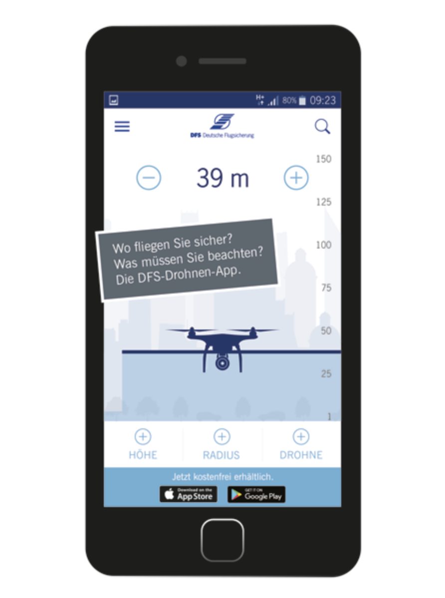
In any case, the UTM needs to provide information which is human-interpretable and user-friendly so the drone pilot can always evaluate if the drone position is optimal and safe. Based on this information the drone pilot can also adjust the flight path according to live requirements. Sometimes it might be necessary to set up a no-fly zones or to adjust the airspace access on very short notice. Such scenarios would require a robust data connection between drone and UTM to make sure real-time information is provided to the drone and its operator.
Source: Airbus
... a robust data connection between drone and UTM is a must
Experts are now looking at the most appropriate system for such data exchange and identification and tracking of drones. The current telecommunications infrastructure with 4G and 5G networks seem to be the prime choice of many. Yet, this telecom network can easily be overburdened – think of concerts and important events when mobile networks are over capacity. Having drones depend on a system with limited capacity is a risky business. The bottom line is that any infrastructure used for identification and data exchange with drones needs to be reliable and have sufficient capacity to manage sufficient number of users at all times. Alternative procedures for areas without coverage or insufficient bandwidth capacity must be developed.
Having drones depend on a system with limited capacity is a risky business.
Data collection and processing will be one of the core functionalities of the UTM system. While voice communication of some form will play a role in the early stages of UTM deployment, experts foresee that it will be replaced by digital, non-verbal communication soon. Most scenarios foresee that drones will be linked through some form of cloud network, using System Wide Information Management (SWIM) technology. A UTM System Manager could be at the core of the network, acting as the central link to connect regulatory and public agencies (e.g. the registration database) and licensed providers (e.g. flight planning services). All service providers connected to the UTM system must be certified and subject to oversight to ensure the safety of the system and the integrity of data.
All service providers connected to the UTM system must be certified and subject to oversight.
A major concern of any pilot, either with manned or unmanned operations, is the prevention of collisions with other airspace users. While a future UTM could supply tools for collision prevention, it will most likely not directly control drones. It means that the final responsibility would remain with the (remote) ‘pilot-in-command’. What the UTM could– and should – provide is guidance on heights, altitudes, speeds, airspace restrictions. In addition, the drones could assist the pilots with smart indications and notifications warning them of potential proximity and collision dangers. Equally, minimum distance from settlements and open-air assemblies of people must be respected. At the same time, the system will need to provide sufficient freedom for drones to operate up to their potential – as long as safe.
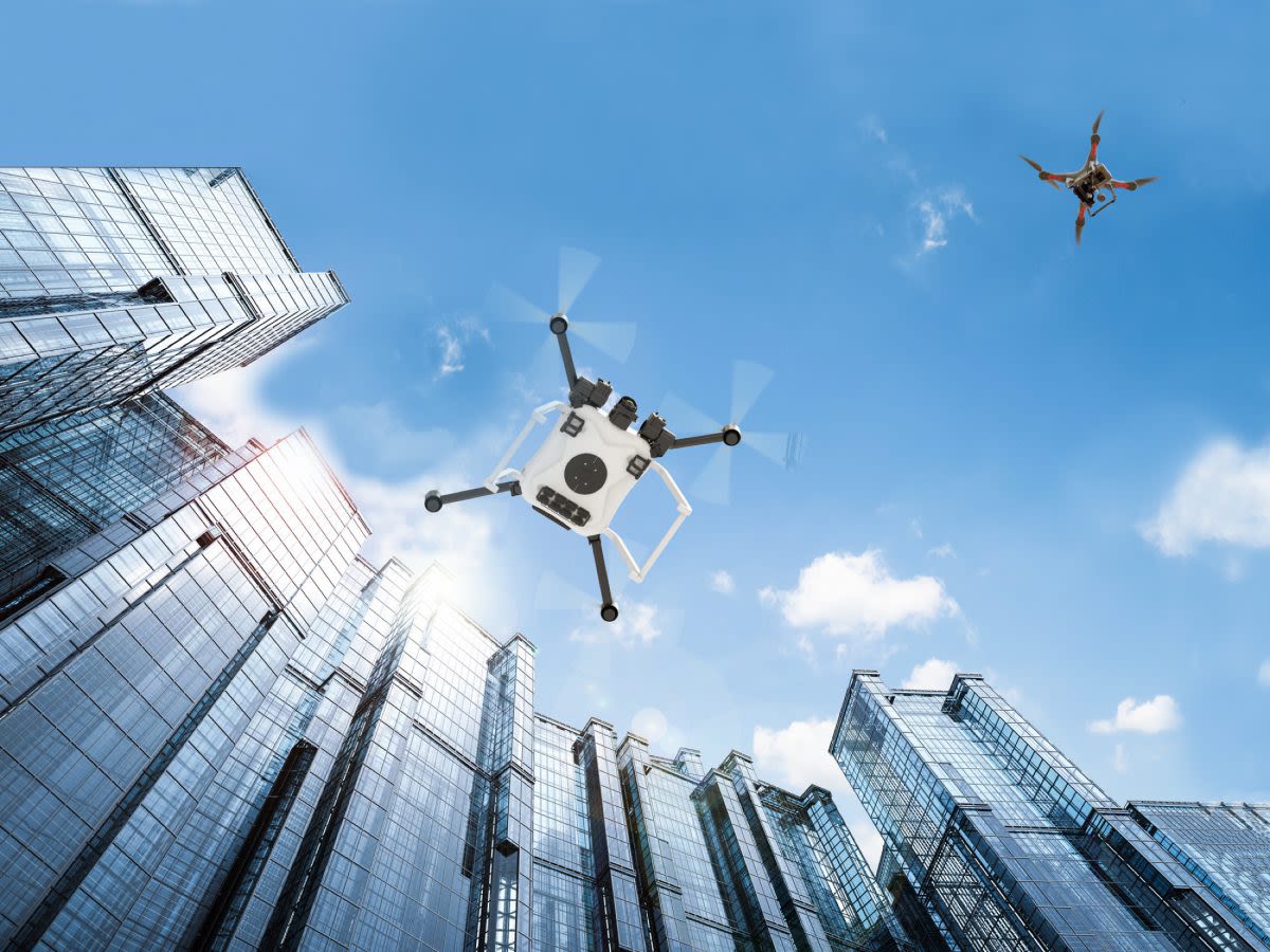
Source: NASA
Minimum distance from settlements and open-air assemblies of people must be respected
A measure to safely separate drones from each other could be the introduction of standard cruising altitudes. This however would not work for separation from manned aviation aircraft as manned aviation users usually maintain their altitude within a margin of 100ft or more. Furthermore, right-of-way rules should be adopted, with manned aviation always having priority.
Right-of-way rules should be adopted, with manned aviation always having priority.
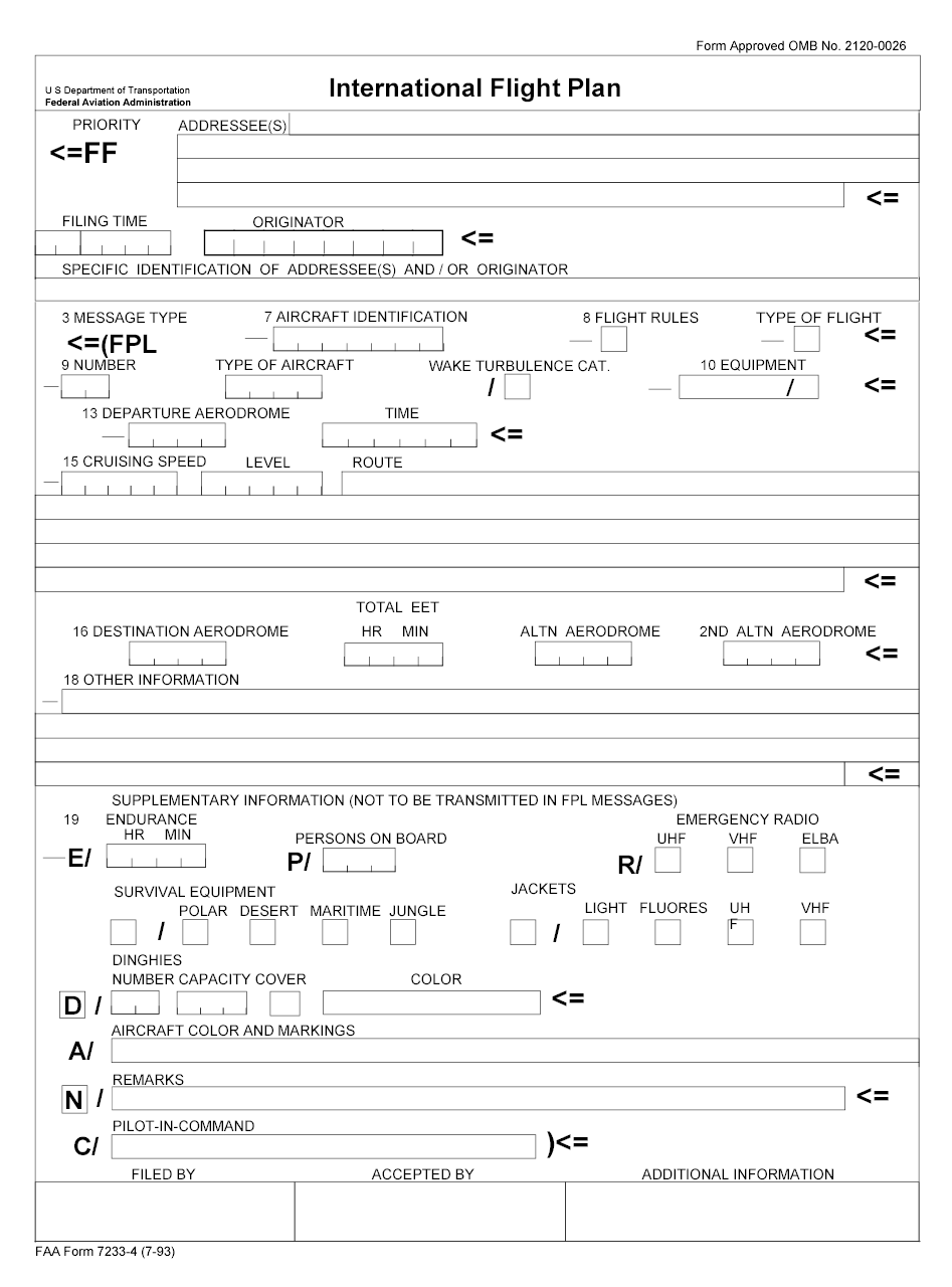
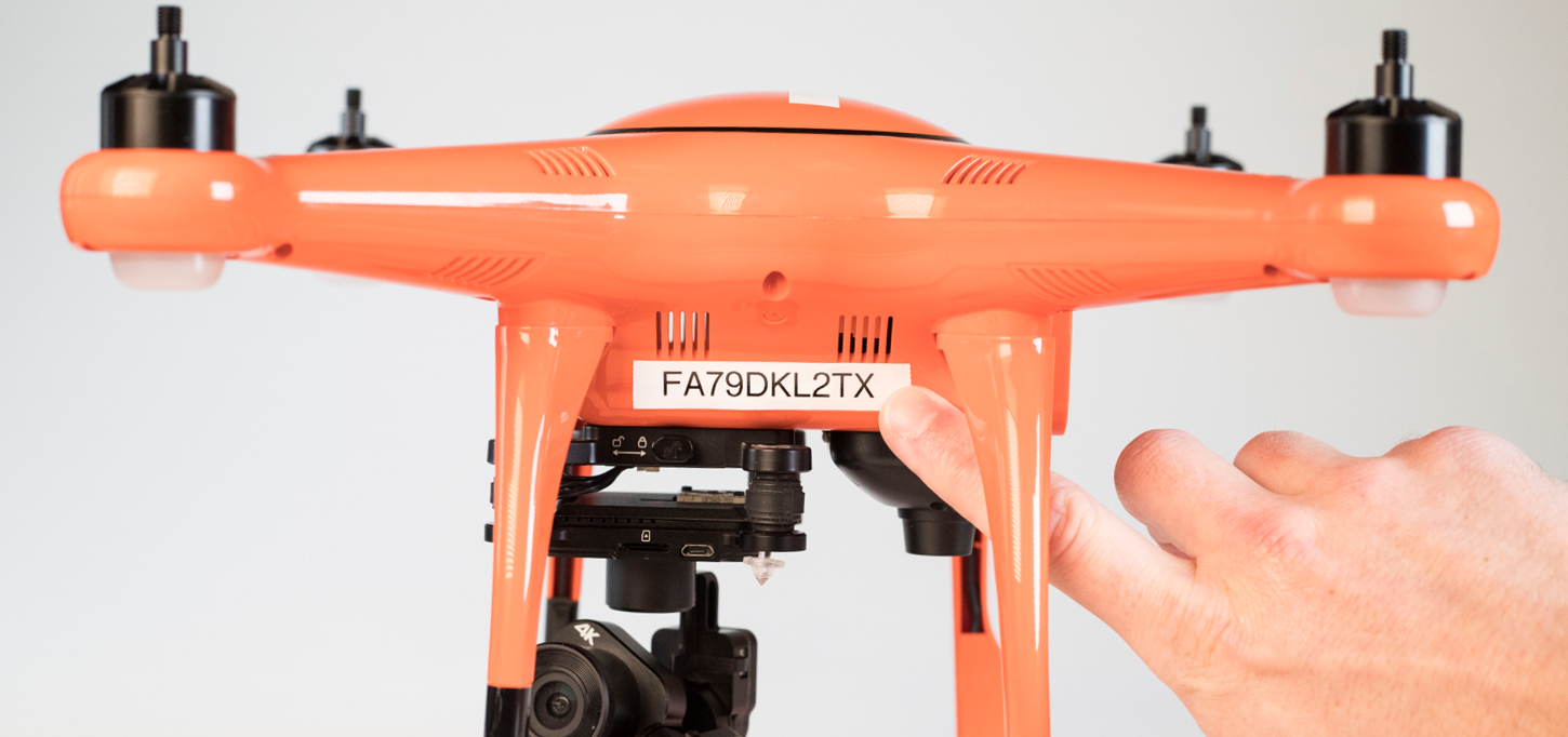
Safe operations within UTM will require a certain degree of predictability by relying on a drone flight plan
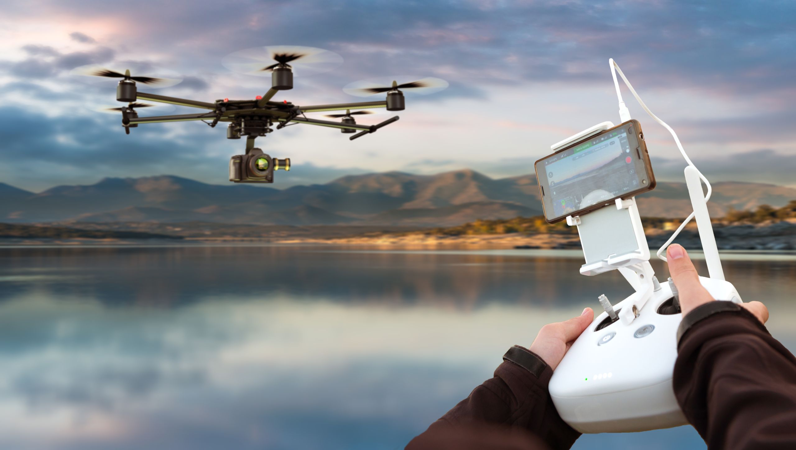

Source: Autel Robotics
Source: Autel Robotics
Safe operations within UTM will require a certain degree of predictability by relying on a drone flight plan. It is probably impossible to mirror the detailed flight plans used by manned aviation. Yet, a flight plan-like information will enable the UTM system to direct and manage traffic flow in a timely manner. It is a point of attention how to reconcile this with drone users such as police, military and emergency rescue services who may be unable or unwilling to file flight plans due to the nature of their missions and to find solutions for situations when a drone might divert from its planned track in case of a C2-Link failure.

A flight plan-like information will enable the UTM system to direct and manage traffic flow in a timely manner
As operation in VLL under the UTM-regime bears new, probably unknown risks, a functioning reporting system will be of undoubted value. It will help to evaluate if the required target safety levels have been met and to analyse incidents and accidents in the VLL airspace. Such a system should be based on Just Culture principles and could form a part of already established mandatory and/or voluntary reporting systems for manned aviation.


A functioning reporting system will be of undoubted value
But the UTM’s success is also dependent on the technologies and technical specifications that the drone technology adopts. Drones will need to be equipped with a terrain and obstacle database and sensors that enable a safe operation close to the ground or near infrastructure.

Source: Autel Robotics
They should also be tested and certified under all environmental conditionswhich can be encountered in VLL operation. The operational and environmental limits of a UAS have to be clear to the pilot in order to maintain a safe flight envelope. This includes among other factors wind conditions, effects of precipitation, icing and other atmospheric disturbances. At the same time, weather data should be availableand provided in a format that is easy to be interpreted. Last but not least, it will be essential that all drones are registered in a common European database, following uniform data requirements and data-protocols.
A UTM is a critical component for the successful future of the drone industry. One of the biggest challenges is the need to set up an infrastructure that is trying to keep up with a rapidly evolving technology as well as anticipating new technological developments. To cope with this manned and unmanned aviation industries can only rely on building a robust and sustainable foundation for the UTM system, one which would be easy to adapt to the fast-paced developments tomorrow and in the future.
UAS operations and their impact on people’s daily life and environment need to be(come) socially acceptable to the wider society.
At the same time, UAS operations – especially those at very low levels– and their impact on people’s daily life and environment need to be(come) socially acceptable to the wider society. This is why stakeholders other than subject-matter experts need to be involved in the development of the future UTM for low-level UAV operations. It is important to ensure a healthy balance between what it technically and theoretically possible and what is beneficial for society.
European Cockpit Association
www.eurocockpit.be
